Data Mapping Tools for Brigades

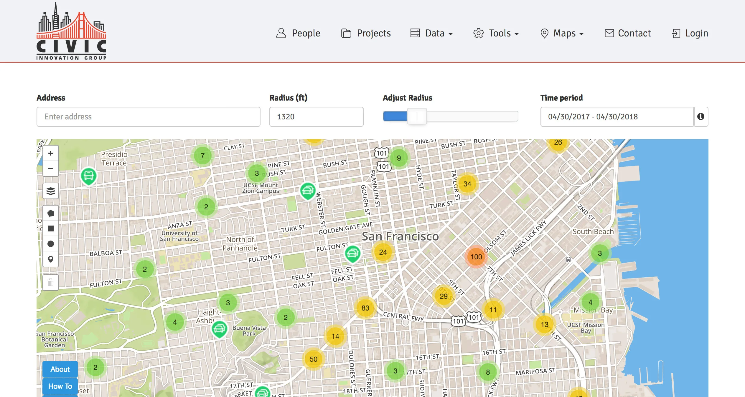
Code for SF has incubated a variety of groups and projects over the five years it’s been hacking. The Civic Innovation Group is one of those organizations. They are working on innovative solutions to government challenges. They are a bit of hybrid organization, partnering with volunteers, government agencies and tech companies. They are launching a suite of mapping tools for Brigade members to use that address some of the challenges Brigade members have had. These tools are designed to remove blocks and save time when working with filtering and mapping data, especially for people who don’t have map coding skills.
EAS Search Tool
Enterprise Address System is a gazetteer, an address index for SF. Select an area of SF and you can download all the address within that area with supplemented information like coordinates, block and centerline node network numbers. This is useful if you need to select addresses for a particular neighborhood from city wide data, such as from DataSF Open Data portal which does not let you select data by specific area.
Geocoder
Geocoder adds geographic data to an address. It is essential for mapping data without any GIS skills. Unlike other geocoders, this tools adds SF specific information such as centerline node network numbers and block IDs.
3G: Geographic Geometry Generator
This is a brand new tool. The Geographic Geometry Generator (3G) Draw a line, point or shape on a map and it gives you geometry and coordinates. It is incredibly useful for people without GIS skills to create, name, and save custom geometry. Want to gerrymander your voting district? This is the tool for you.
These tools are built using Leaflet Draw, an open source GIS toolbar plugin and JS library for interactive maps.
Currently there are two projects using these tools namely SF Crime Data and SFMTA Board Meetings Resolution Database. We hope that more Brigade members will find those tools useful.